Skip to content
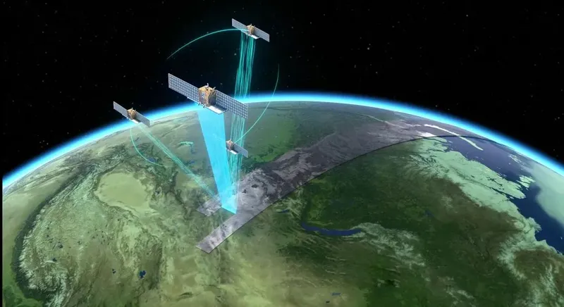
What is Satellite Remote Sensing?can be understood as the “clairvoyance” in the TV seriesIt can also be understood as:“Take pictures of the Earth with a powerful camera
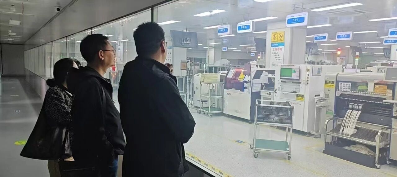
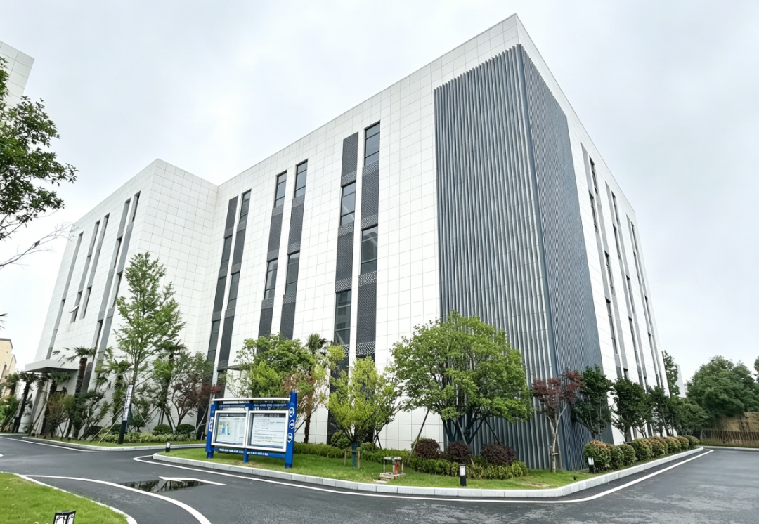
Nanjing Aerospace Hongtu Information Technology Co., Ltd
(hereinafter referred to as “Nanjing Aerospace Grand Plan”)
It is such a company that “takes pictures of the earth”.
Climate monitoring, environmental protection, disaster early warning……These are Nanjing’s aerospace ambitionsSatellite remote sensing technology is developing in the fieldEmpower new quality productivity with “hard technology”.
Imagine, with the help of future intelligent satellite remote sensing technology, people from all walks of life can obtain the remote sensing images they need through their mobile phones, for example, reporters can easily obtain on-site images of emergencies, and tourists can know the tourist flow of scenic spots in advance……
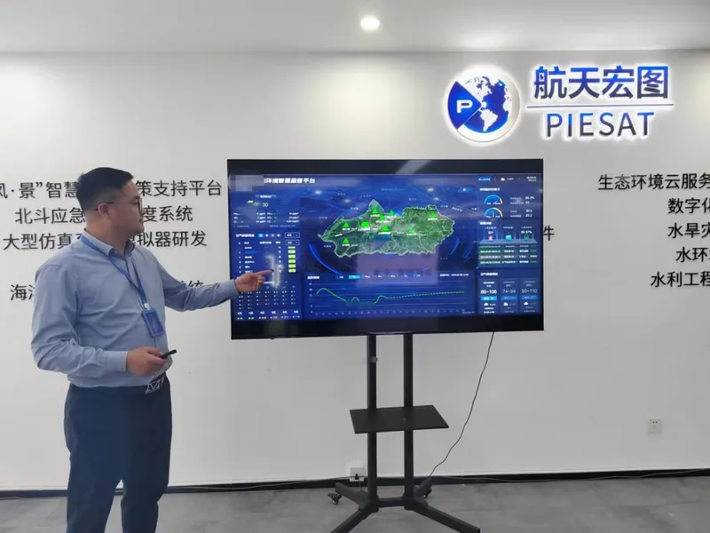
Satellite sky view remote sensing to monitor“There is a pollution warning!” On the morning of January 5 this year, Bian Yuehui, the on-site technical engineer of Aerospace Hongtu, found that there was a satellite remote sensing air pollution hotspot grid in his jurisdiction when he inspected the ecological environment intelligent supervision platform of a cooperative unit.
With the goal of improving the quality of the atmospheric environment, the ecological environment intelligent supervision project has established a large environmental quality monitoring network of “sky, air, ground and people” based on various monitoring methods such as satellites, unmanned aerial vehicles, video surveillance, and ground stations, so as to realize closed-loop management such as pollution warning, cause inference, accurate traceability, task issuance, pollution disposal, and effect evaluation.
Atmospheric monitoringIt’s just Nanjing’s aerospace ambitionOne of the many business segments
- During the Chongqing wildfires, the fire team used satellite remote sensing technology to conduct comprehensive and accurate monitoring of 12 wildfires, providing strong technical support for on-site command and decision-making.
- The remote sensing investigation technology of rural black and odorous water bodies uses multi-temporal and high-resolution remote sensing images to build a remote sensing identification model of rural black and odorous water bodies, and helps the identification and investigation of rural black and odorous water bodies in many places across the country……
- Today, on the basis of integrating multi-source perception data such as remote sensing, Beidou, and the Internet of Things, Nanjing Aerospace Hongtu can provide multi-field and diversified data support and management services including wildfire monitoring, air pollution monitoring, planting planning, and pest control guidance through “cloud + terminal” scenario-based applications.
Education Implementation Department Double-line science popularizationRecently, Xu Chong, director and senior engineer of the Data Processing Department of Sinopec Jiangsu Oilfield Geophysical Technology Research Institute, walked into the live broadcast room of Nanjing Aerospace Hongtu and launched a theme report on “Application and Development of Compressed Sensing in Seismic Exploration”. The lecture attracted more than 2,000 people to watch online.